Devito (v3.1.0): an embedded domain-specific language for finite differences and geophysical exploration Geoscientific Model Development DOI 10.5194/gmd-12-1165-2019 27 March 2019 This paper presents Devito, a Python-based software. The aim of this software is to provide a high-level simple interface to users for the description and discretization of the mathematical definition of the physics. This research initially started as an attempt to improve research time, portability, and performance in exploration geophysics. We present the latest version of the software that is already making an impact in academics and industry. Read more
Carbon cycling in the North American coastal ocean: a synthesis Biogeosciences DOI 10.5194/bg-16-1281-2019 27 March 2019 We review and synthesize available information on coastal ocean carbon fluxes around North America (NA). There is overwhelming evidence, compiled and discussed here, that the NA coastal margins act as a sink. Our synthesis shows the great diversity in processes driving carbon fluxes in different coastal regions, highlights remaining gaps in observations and models, and discusses current and anticipated future trends with respect to carbon fluxes and acidification. Read more
The 4.2 ka BP Event in the Mediterranean region: an overview Climate of the Past DOI 10.5194/cp-15-555-2019 27 March 2019 The Mediterranean region has returned some of the clearest evidence of a climatically dry period occurring approximately 4200 years ago. We reviewed selected proxies to infer regional climate patterns between 4.3 and 3.8 ka. Temperature data suggest a cooling anomaly, even if this is not uniform, whereas winter was drier, along with dry summers. However, some exceptions to this prevail, where wetter condition seems to have persisted, suggesting regional heterogeneity. Read more
On the role of soil water retention characteristic on aerobic microbial respiration Biogeosciences DOI 10.5194/bg-16-1187-2019 21 March 2019 Soil water is a medium from which microbes acquire resources and within which they are able to move. Occupancy and availability of water and oxygen gas in soils are mutually exclusive. In addition, as soil dries the remaining water is held with an increasing degree of adhesive energy, which restricts microbes’ ability to extract resources from water. We introduce a mathematical model that describes these interacting effects and organic matter decomposition. Read more
Geostatistical interpolation by quantile kriging Hydrology and Earth System Sciences DOI 10.5194/hess-23-1633-2019 20 March 2019 Many variables, e.g., in hydrology, geology, and social sciences, are only observed at a few distinct measurement locations, and their actual distribution in the entire space remains unknown. We introduce the new geostatistical interpolation method ofquantile kriging, providing an improved estimator and associated uncertainty. It can also host variables, which would not fulfill the implicit presumptions of the traditional geostatistical interpolation methods. Read more
Exposure-based risk assessment and emergency management associated with the fallout of large clasts at Mount Etna Natural Hazards and Earth System Sciences DOI 10.5194/nhess-19-589-2019 20 March 2019 The fallout of large clasts (> 5 cm) from the margins of eruptive plumes can damage local infrastructure and severely injure people close to the volcano. Even though this potential hazard has been observed at many volcanoes, it has often been overlooked. We present the first hazard and risk assessment of large-clast fallout from eruptive plumes and use Mt Etna (Italy) as a case study. The use of dedicated shelters in the case of an explosive event that occurs with no warning is also evaluated. Read more
Evaluation of CloudSat snowfall rate profiles by a comparison with in situ micro-rain radar observations in East Antarctica The Cryosphere DOI 10.5194/tc-13-943-2019 19 March 2019 Evaluation of the vertical precipitation rate profiles of CloudSat radar by comparison with two surface-based micro-rain radars (MRR) located at two antarctic stations gives a near-perfect correlation between both datasets, even though climatic and geographic conditions are different for the stations. A better understanding and reassessment of CloudSat uncertainties ranging from −13 % up to +22 % confirms the robustness of the CloudSat retrievals of snowfall over Antarctica. Read more
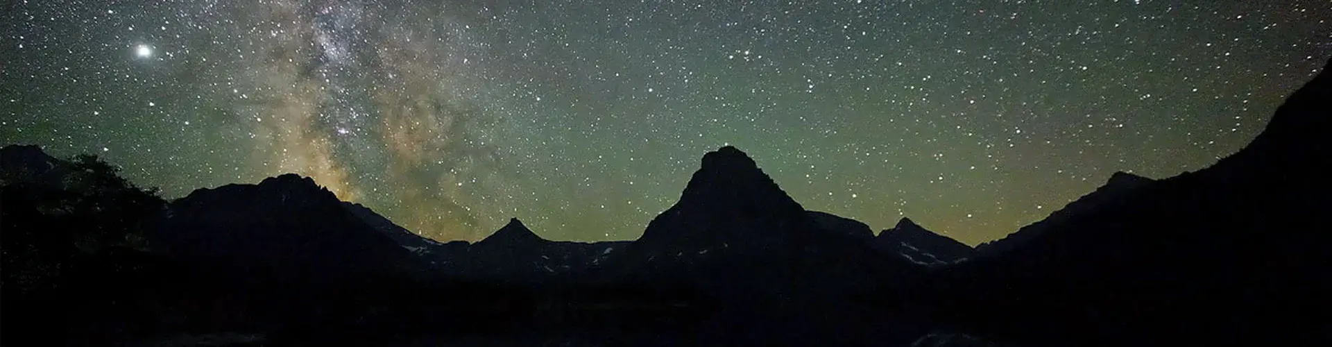
Pleistocene glacial history of the New Zealand subantarctic islands Climate of the Past DOI 10.5194/cp-15-423-2019 14 March 2019 The New Zealand subantarctic islands, in the Pacific sector of the Southern Ocean, provide valuable records of past environmental change. We find that the Auckland Islands hosted a small ice cap around 384 000 years ago, but that there was little glaciation during the Last Glacial Maximum, around 21 000 years ago, in contrast to mainland New Zealand. This shows that the climate here is susceptible to changes in regional factors such as sea-ice expanse and the position of ocean fronts. Read more
Trends in global tropospheric ozone inferred from a composite record of TOMS/OMI/MLS/OMPS satellite measurements and the MERRA-2 GMI simulation Atmospheric Chemistry and Physics DOI 10.5194/acp-19-3257-2019 13 March 2019 Both a 38-year merged satellite record of tropospheric ozone from TOMS/OMI/MLS/OMPS and a MERRA-2 GMI model simulation show large increases of 6–7 Dobson units from the Near East to India–East Asia and eastward over the Pacific. These increases in tropospheric ozone are attributed to increases in pollution over the region over the last several decades. Secondary 38-year increases of 4–5 Dobson units with both GMI model and satellite measurements occur over central African–tropical Atlantic. Read more
Attributing the 2017 Bangladesh floods from meteorological and hydrological perspectives Hydrology and Earth System Sciences DOI 10.5194/hess-23-1409-2019 13 March 2019 In August 2017 Bangladesh faced one of its worst river flooding events in recent history. For the large Brahmaputra basin, using precipitation alone as a proxy for flooding might not be appropriate. In this paper we explicitly test this assumption by performing an attribution of both precipitation and discharge as a flooding-related measure to climate change. We find the change in risk to be of similar order of magnitude (between 1 and 2) for both the meteorological and hydrological approach. Read more