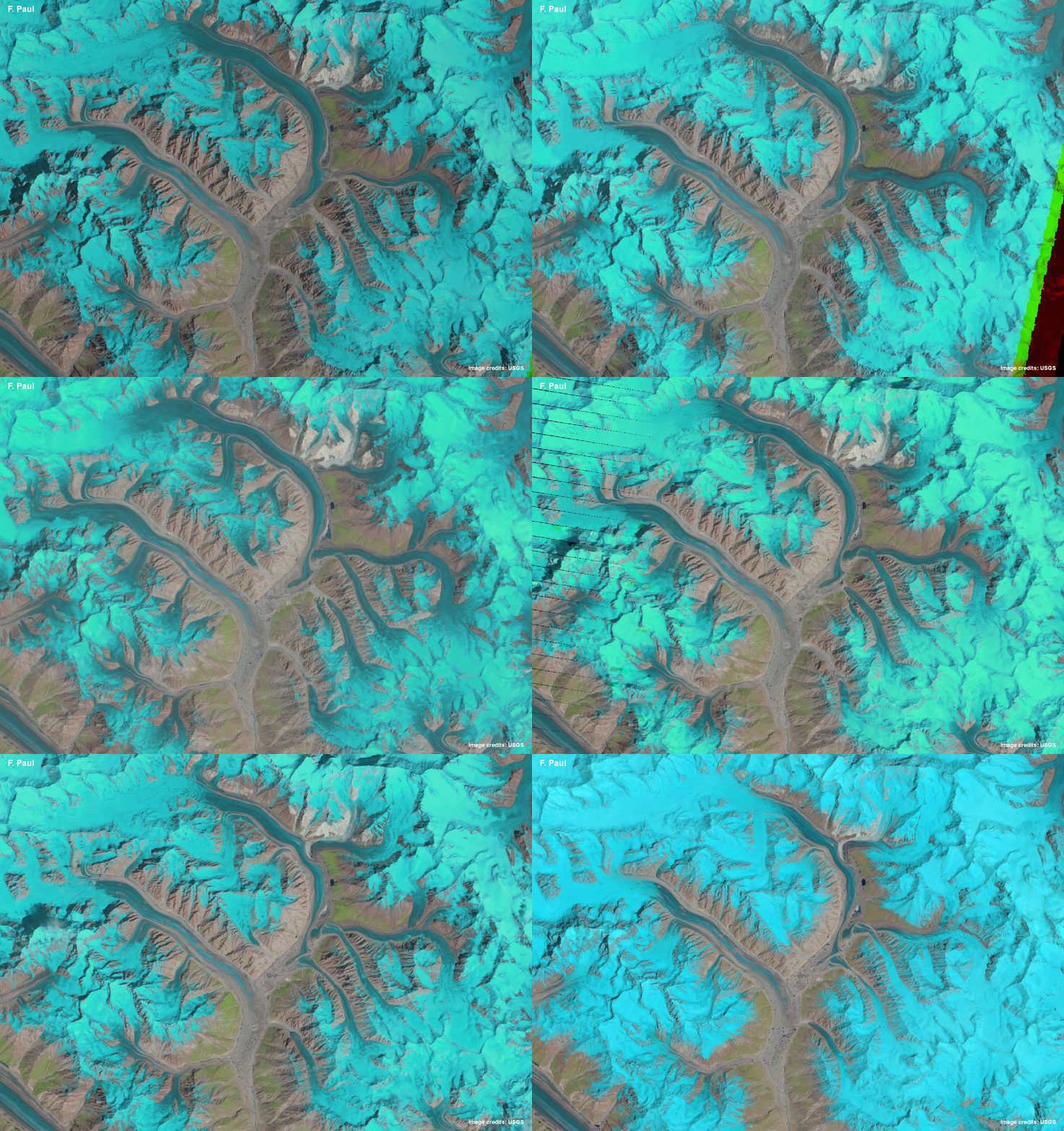
Panmah animation

This gif animation shows the region around Panmah and Choktoi glaciers with surrounding tributaries. Glaciers are shown in light blue to cyan, clouds in white, water in dark blue, vegetation in green and bare terrain in pink to brown. The black lines that appear on the sides of the image are related to an instrument failure on Landsat in 2003.
Credit: F. Paul, The Cryosphere, 2015 & USGS/NASA
Related EGU articles
- Revealing glacier flow with animated satellite images (26 November 2015)
Download
- Original image (22.3 MB, 1736.0x1231.0 px)
- Preview image (148.1 KB, 1280x908 px, JPEG format)
