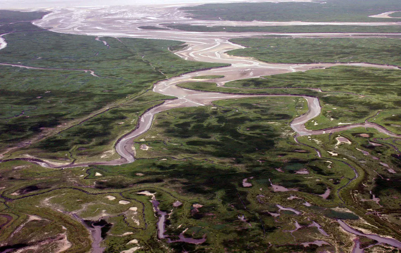
Aerial photograph of flooded land in the Saeftinghe region, southwestern Netherlands
This photograph shows remnants of the former breach made here in February 1584, now a tidal channel. The marshland visible in the picture is former arable land.
Credit: A. de Kraker
Related EGU articles
- Floods as war weapons – Humans caused a third of floods in past 500 years in SW Netherlands (9 June 2015)
Download
- Original image (446.3 KB, 1937.0x1222.0 px)
- Preview image (160.1 KB, 1280x808 px, JPEG format)

