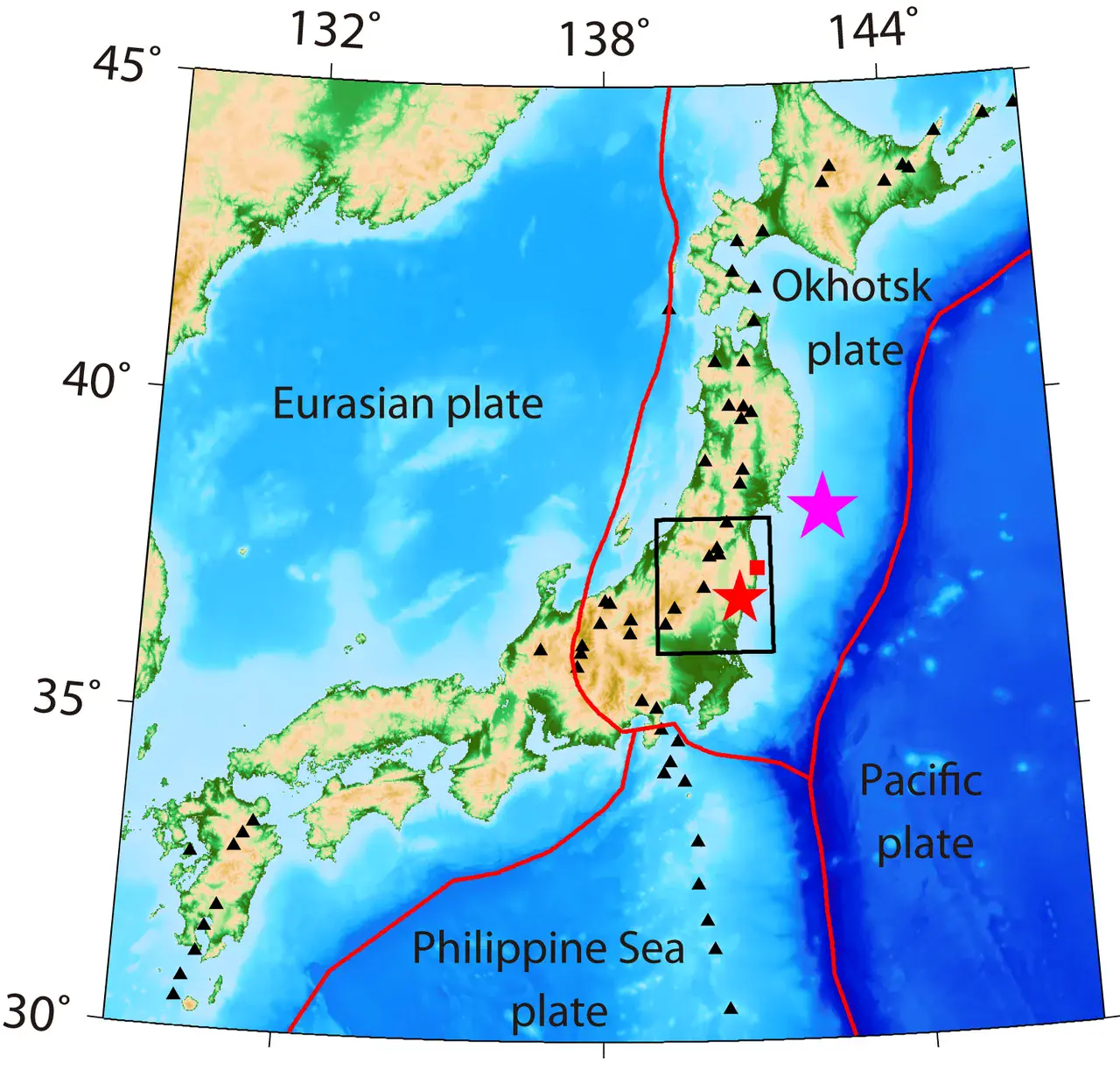
Map of Japan's islands indicating the area of study
Map of Japan's islands indicating the area of study (black box). The purple star marks the epicentre of the 11 March earthquake and the red star the Iwaki epicentre. Fukushima Daiichi is highlighted by a red square. Black triangles indicate active volcanoes. Numbers on the side of the image represent latitude and longitude.
Credit: Ping Tong, Dapeng Zhao and Dinghui Yang
Related EGU articles
- Fukushima at increased earthquake risk (14 February 2012)
Download
- Original image (1.6 MB, 1613.0x1540.0 px)
- Preview image (120.2 KB, 1280x1222 px, JPEG format)

