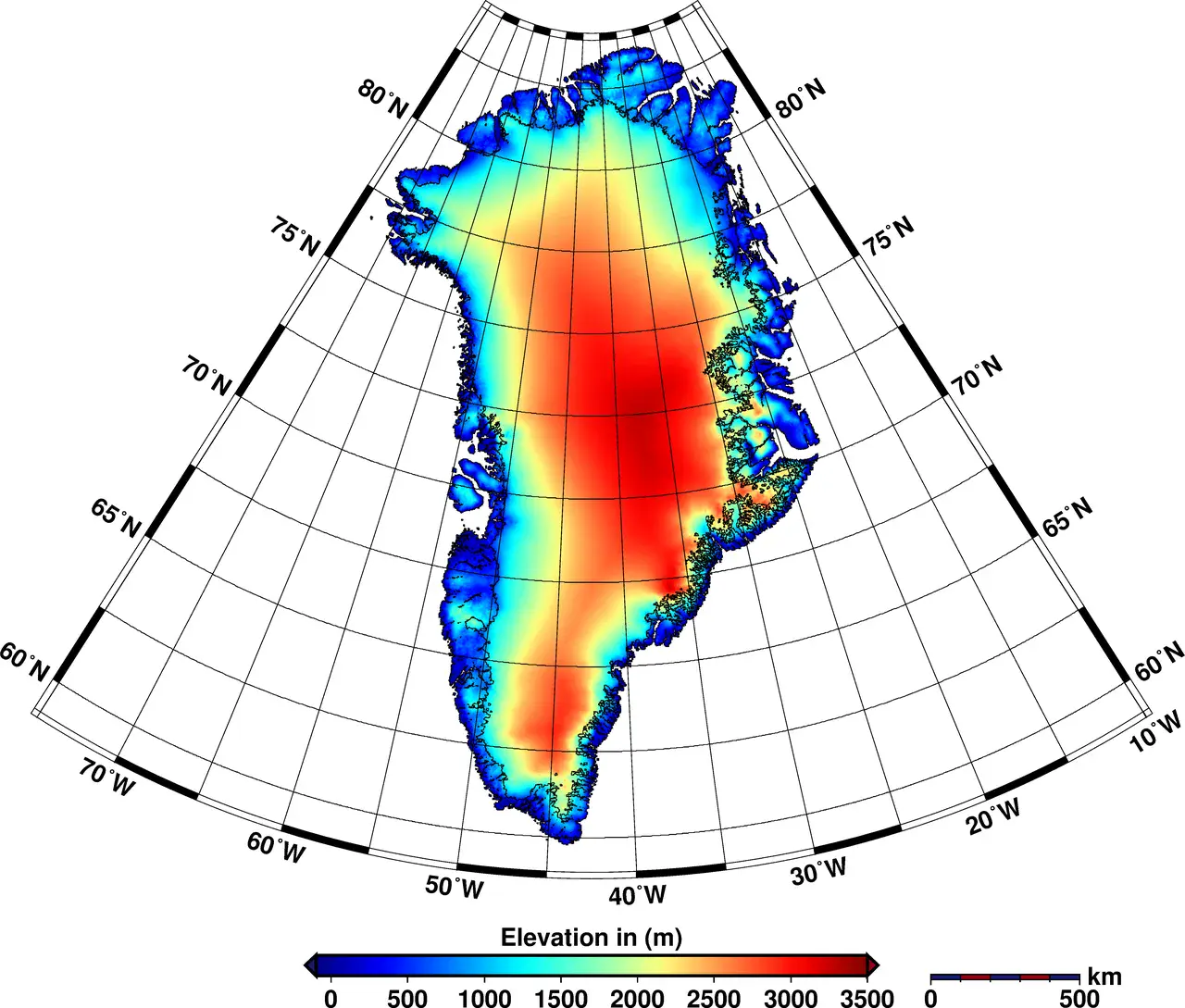
Greenland's elevation map
New elevation model of Greenland derived from CryoSat-2.
Credit: Helm et al., The Cryosphere, 2014
Related EGU articles
- Highs and lows: height changes in the ice sheets mapped (20 August 2014)
Download
- Original image (2.0 MB, 4873.0x4147.0 px)
- Preview image (116.6 KB, 1280x1089 px, JPEG format)

