Studying glaciers with animated satellite images
26 November 2015
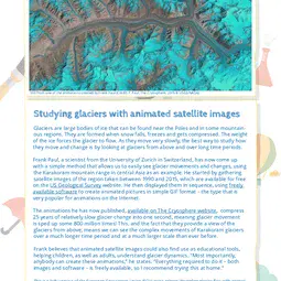
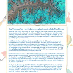
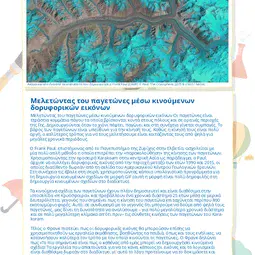
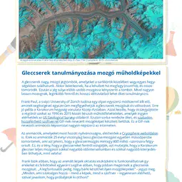
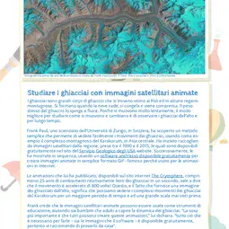
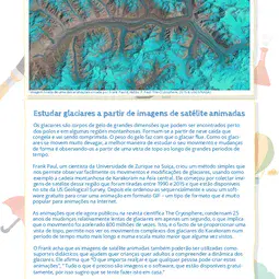
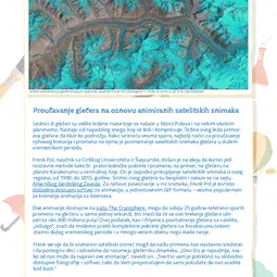
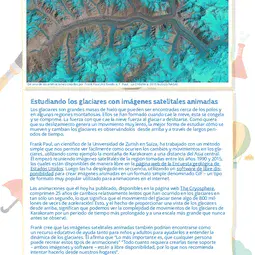
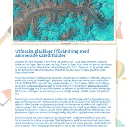
Glaciers are large bodies of ice that can be found near the Poles and in some mountainous regions. They are formed when snow falls, freezes and gets compressed. The weight of the ice forces the glacier to flow. As they move very slowly, the best way to study how they move and change is by looking at glaciers from above and over long time periods. Frank Paul, a scientist from the University of Zurich in Switzerland, has now come up with a simple method that allows us to easily see glacier movements and changes, using the Karakoram mountain range in central Asia as an example. He started by gathering satellite images of the region taken between 1990 and 2015, which are available for free on the US Geological Survey website. He then displayed them in sequence, using freely available software to create animated pictures in simple GIF format – the type that is very popular for animations on the Internet. The animations he has now published, available on The Cryosphere website, compress 25 years of relatively slow glacier change into one second, meaning glacier movement is sped up some 800 million times! This, and the fact that they provide a view of the glaciers from above, means we can see the complex movements of Karakoram glaciers over a much longer time period and at a much larger scale than ever before. Frank believes that animated satellite images could also find use as educational tools, helping children, as well as adults, understand glacier dynamics. “Most importantly, anybody can create these animations,” he states. “Everything required to do it – both images and software – is freely available, so I recommend trying this at home.”Print version
This is a kids' version of the EGU article: 'Studying glaciers with animated satellite images'. It was written by Bárbara Ferreira (EGU Media and Communications Manager), reviewed for scientific content by Richard Selwyn Jones (Postdoctoral Researcher, Victoria University of Wellington, New Zealand) and Tamsin Edwards (Lecturer, The Open University, UK), and for educational content by Marina Drndarski (Teacher, Elementary School ‘Drinka Pavlović’, Belgrade, Serbia).
Translations
All English-language Planet Press releases are carefully edited, reviewed and proofed, by scientists, educators and EGU staff. Please note that once translated, Planet Press releases receive no further checks from EGU staff. For this reason, we cannot guarantee their accuracy, though we trust the quality of our voluntary translators and are grateful for their work.

