I recently across an article that reminded me of my field work days in the early stages of my PhD in the Canadian Arctic at retrogressive thaw slumps. The article discusses the impending catastrophic drainage of a lake when the thin strip of land separating it from a thaw slump fails (see article), which it will inevitably do very soon. The story has now been picked up all across Canada in the context of climate change and permafrost melting. It was nice to see thaw slumps and permafrost in the news so I thought I’d post a few of my own pictures of these slumps from a few years ago that are very nearby the one in the article. Actually, we worked on these same slumps with Dr. Steve Kokelj from the NWT geological survey who is quoted.
Here are few of my own slump pictures from my fieldwork days in the NWT.
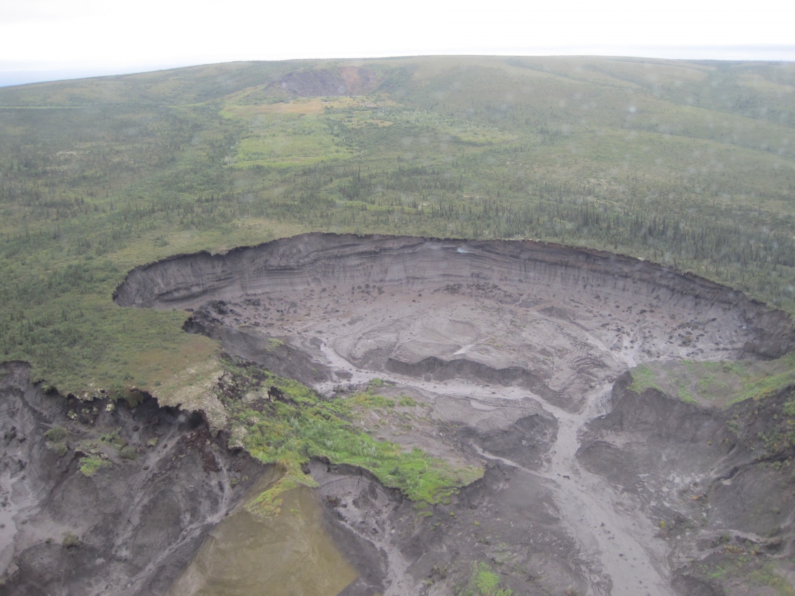
An aerial view of the Charras slump, which is approximately 1 km across and 30m deep at the headwall. (Photo: Matt Herod – 2011)
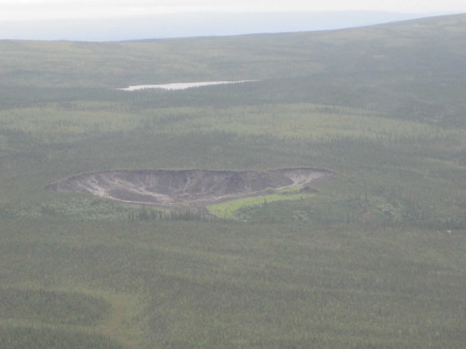
An aerial view of one of the smaller slumps. (Photo: Matt Herod – 2011)
My colleague, Bernard, from the uOttawa geography department headed towards the headwall for an ice sample. (Photo: Matt Herod – 2011)

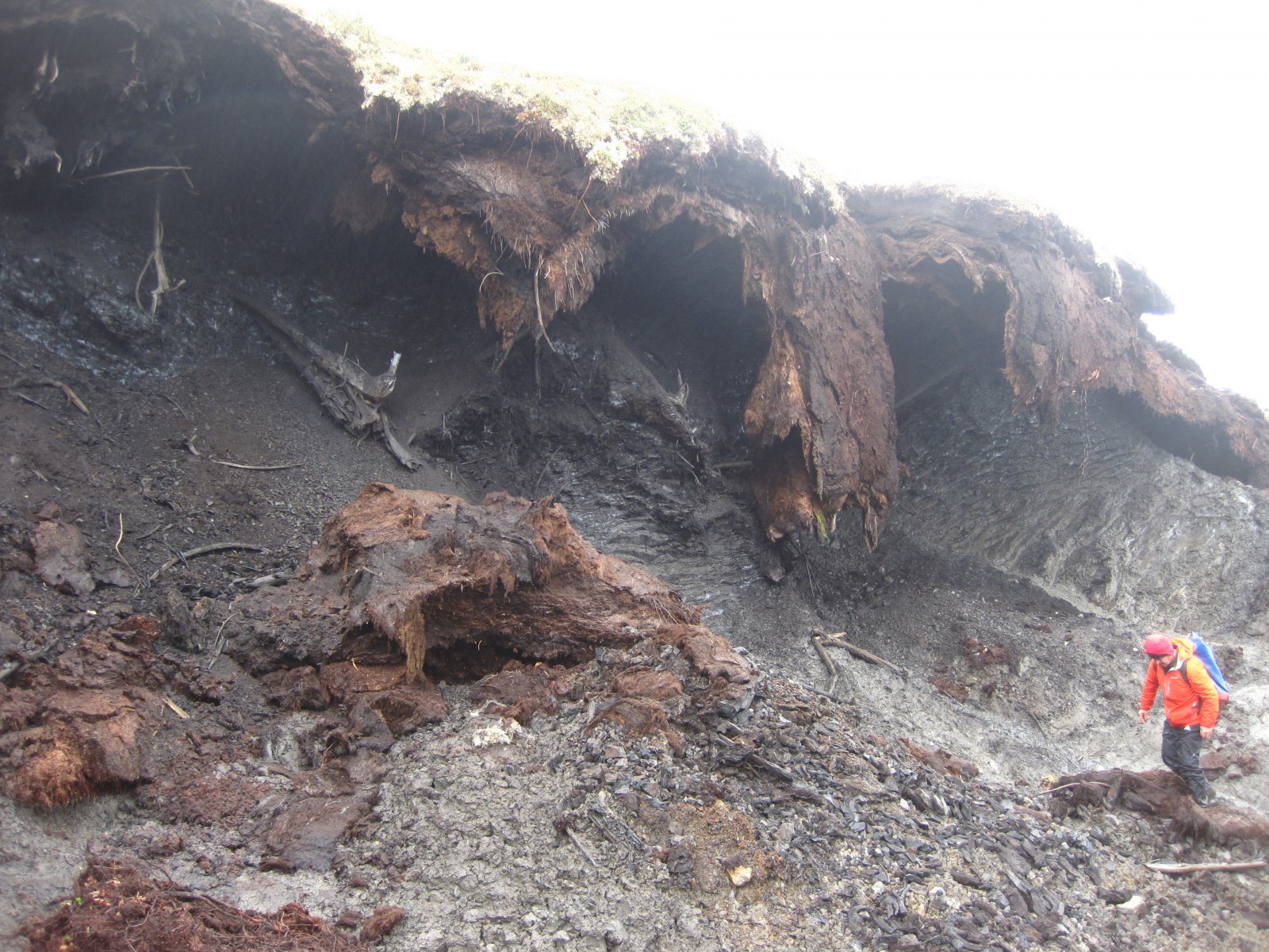
A rainy day in the slump. The mudflow becomes really active when the weather is wet. (Photo: Matt Herod – 2011)