The Earth’s magnetic field extends from the core of the planet, right out to space. It is an invisible, butterfly-like, shield which protects us against the harmful particles ejected by solar flares. In addition, it guards us from atmospheric erosion and water loss caused by solar wind.
But how do scientists study the Earth’s magnetic field when it can’t be see? Much of what is known results from a combination of methods: computer simulations help understand the inner core – where the field is generate – while rocks of all ages can contain information about the changes in strength and direction of the past magnetic field.
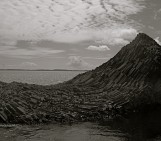
The best recorders of this information are volcanic rocks, but sediments (those rocks formed through processes of deposition) and other types of igneous rocks can also be studied.
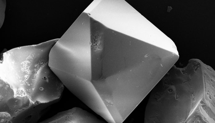
For a rock to be a good source of information about the properties of the magnetic field, it needs to contain some ferromagnetic minerals (magnetite, titanomagnetite – as pictured above – maghemite, among others). The more ferromagnetic minerals a rock contains the better it will record information about the Earth’s magnetic field.
To find out more about the Earth’s magnetic field and magnetic minerals take a look at some of these resources:
· A visualisation of the Earth’s invisible field by NASA
· The Earth’s Magnetic Field: An Overview by the British Geological Survey (BGS)
· How does the Earth’s core generate a magnetic field? USGS
· Magnetic vortices record history of Earth’s magnetic field by the Institute of Physics (IOP)
Imaggeo is the EGU’s online open access geosciences image repository. All geoscientists (and others) can submit their photographs and videos to this repository and, since it is open access, these images can be used for free by scientists for their presentations or publications, by educators and the general public, and some images can even be used freely for commercial purposes. Photographers also retain full rights of use, as Imaggeo images are licensed and distributed by the EGU under a Creative Commons licence. Submit your photos at http://imaggeo.egu.eu/upload/.