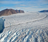
Antarctica is well known for its large ice sheet, covering 98% of the continent. A large part of the ice sheet is losing mass leading to vertical and horizontal movements of the crust as well as changes of the gravitational attraction. To observe these changes in gravity with the highest accuracy, it is necessary to visit Antarctica and measure gravity on a regular basis. Since the late 1980s, the Finnish Geospatial Research Institute (FGI) is doing exactly this: measuring the absolute gravity as well as local gravity changes. The data are also required to create global gravity models (like the Earth Gravitational Model) and are especially important as data from the Southern Hemisphere. and Antactica in particular, is scarce. In addition, gravity data can be used to observe current changes of the ice masses.
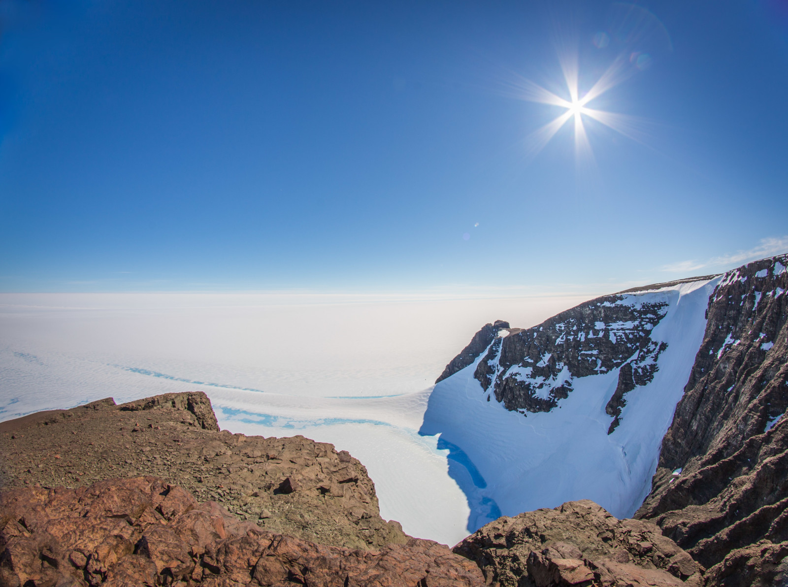
View to the North from the top of Mt. Basen on which Aboa is situated.
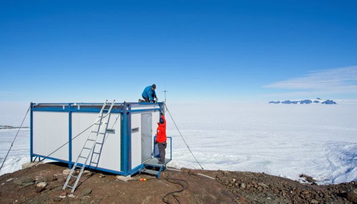
I’m working at the FGI and I have been involved with the Antarctica gravity campaigns for several years now. Finland has a summer-season research station called Aboa (see picture below) in Western Queen Maud Land. Like the majority of research stations in Antarctica, Aboa is located in the ice-free 2% of Antarctica, making terrestrial geodetic measurements and gathering of long time series possible. FGI’s geodetic measurements have largely been at and around Aboa, but we have also been doing absolute gravity measurements at four different research stations in Queen Maud Land and even at Scott Base and McMurdo Station on the other side of the continent. First FGI measurements consisted of GPS campaigns and relative gravimetry to better understand the movement of the crust as well as the dynamics of the glacier surrounding Aboa. In 1994 the first absolute gravity measurements were done and in 2003 we started to operate a continuous GPS station.
Aboa station in Western Queen Maud Land.
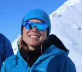
My first measurement campaign to Antarctica started in late 2011 and lasted for about three months. During that time, I worked at four research stations in Queen Maud Land. Since then I’ve participated in four shorter measurement campaigns on the continent. Working in Antarctica is at the same time more rewarding and more challenging than at any other location I’ve been to. The wild and rugged nature of the place is unbelievably beautiful and the sense of camaraderie with the people at the stations is something one doesn’t experience often. On the other hand the travel logistics can be quite challenging and one has to plan the work very carefully in advance. If a single cable is missing from the equipment or gets broken, there might be no way to replace it. And, a storm can delay the measurement schedule easily by a week.

Jyri doing AG measurements at the Aboa AG laboratory.
As a Finn, I’m quite used to cold winter conditions. But even during the summer season in Antarctica the weather can provide challenges. At one moment it might be warm enough to walk outside in a T-shirt and the next moment the wind chill can be -45°C or colder and being outside can pose life threatening hazards. During storms the wind speeds can be comparable to hurricanes.
Another aspect of working in Antarctica is the remoteness from the rest of the civilization. At most of the stations, there is no internet access or it is very slow and the use is limited. There are no cell phone towers. Luckily emails can be sent, and phone calls made via satellite phones. It takes some time to acclimatize to being cut off from hectic and information intensive life one is used to. On the other hand, working in Antarctica allows one to focus almost entirely on the task at hand without interruptions – a rarity nowadays.
Getting the chance to do research in Antarctica is definitely a highlight in my research career as a geodesist. I feel privileged at having been given the opportunity to experience a hint of what the explorers of the past felt. Flying over the white desert in a plane that was built 80 years ago, landing on skis to a pristine field of snow and arriving at a place that is more than 4000 km away from the nearest city is an experience that forever changes one’s perspective on life.

Always having some spectators.