The Geodynamics 101 series serves to showcase the diversity of research topics and methods in the geodynamics community in an understandable manner. We welcome all researchers – PhD students to professors – to introduce their area of expertise in a lighthearted, entertaining manner and touch upon some of the outstanding questions and problems related to their fields. This month, Manar Alsaif, PhD student at Université Montpellier, discusses actual rocks and field work!
 In a discipline increasingly shaped by models, what can the rocks still tell us?
Flicking through your typical geodynamics bodies of work, most of the papers are on some kind of modelling – be it analogue, numerical, or something using seismic data. This is hardly surprising considering that geodynamics is all about the depths of the Earth, where we cannot make direct observations. But at some point, we need to check the results of these models, and checking them means looking for the observables. This is ok for the global scale – we can measure gravity and magnetism and the like, but what about smaller scales? And more detail? And the kind of complexity we cannot yet model? Our observations are restricted to the Earth’s surface – but this is actually not a bad place start. There is still a lot that we can learn from good old fashioned field work. And in fact, a lot of the motivation for models comes from an observation of something not understood, or not previously thought of.
So if you need a little inspiration for your next research project, I implore you to literally take a hike!
Apart from a source of inspiration, where does field work fit into a geodynamics workflow? I’d say it fits on top (no pun intended), since all geodynamic processes have a surface expression (at least to some degree).
Take plate motion, for example. Whether a plate moves laterally or vertically, that motion is recorded in the rocks. Palaeomagnetism will trace lateral motion, while thermochronometry will give you a vertical history of the rocks. More often than not, it will reveal a complex history of the rocks and the plate in which they lie. This complexity includes a myriad of processes e.g. fluid action, metamorphism, deformation, diagnesis, etc. These are all processes that are still not fully understood but which we can address by picking up a rock and looking at its mineralogy, its texture, its veins, its contact with its surrounding rocks, its P-T history, its fractures, their strain patterns, etc.
This is by no means an exhaustive article on field methods, I merely mention some examples of how field methods can be useful. So if field geology can be so useful, why are there fewer and fewer scientists doing it? Well, there’s the popular misconception that field geology is only geological mapping, and that the world’s geological surveys have more or less taken care of that already. In reality, some geological surveys have done a marvellous job at mapping out the rock units, but half of a geological map is actually interpretation. This interpretation will constantly change with new understanding of processes and with new data, especially where rock exposures are few and/or flighty.
Apart from the misconception that all field geology has ‘been done’, there are some practical reasons why geodynamicists veer away from field studies. Firstly, there is a mismatch of scales. Generally, the smallest scale a geodynamicist will deal with is a plate – that is already a scale which is too large for field work in practice. But as we argued above, field studies can tell you so much, so what do you do? Go strategic! Pick a few practical locations on your plate, where you might find the products of the processes you’re looking at. For example, if you are looking at obduction, go look around the high pressure rocks, which have probably already been mapped – thank you, local geo survey. If you’re looking at active faulting, use topography and satellite data to help guide you, and then a little thermochronometry can go a long way. If you’re looking at processes behind magmatism, look around your magmatic rocks, and then let the powers of geochemistry come to your aid. There are so many other examples that field geologists do and new tricks that we could start to do with a little creative thinking.

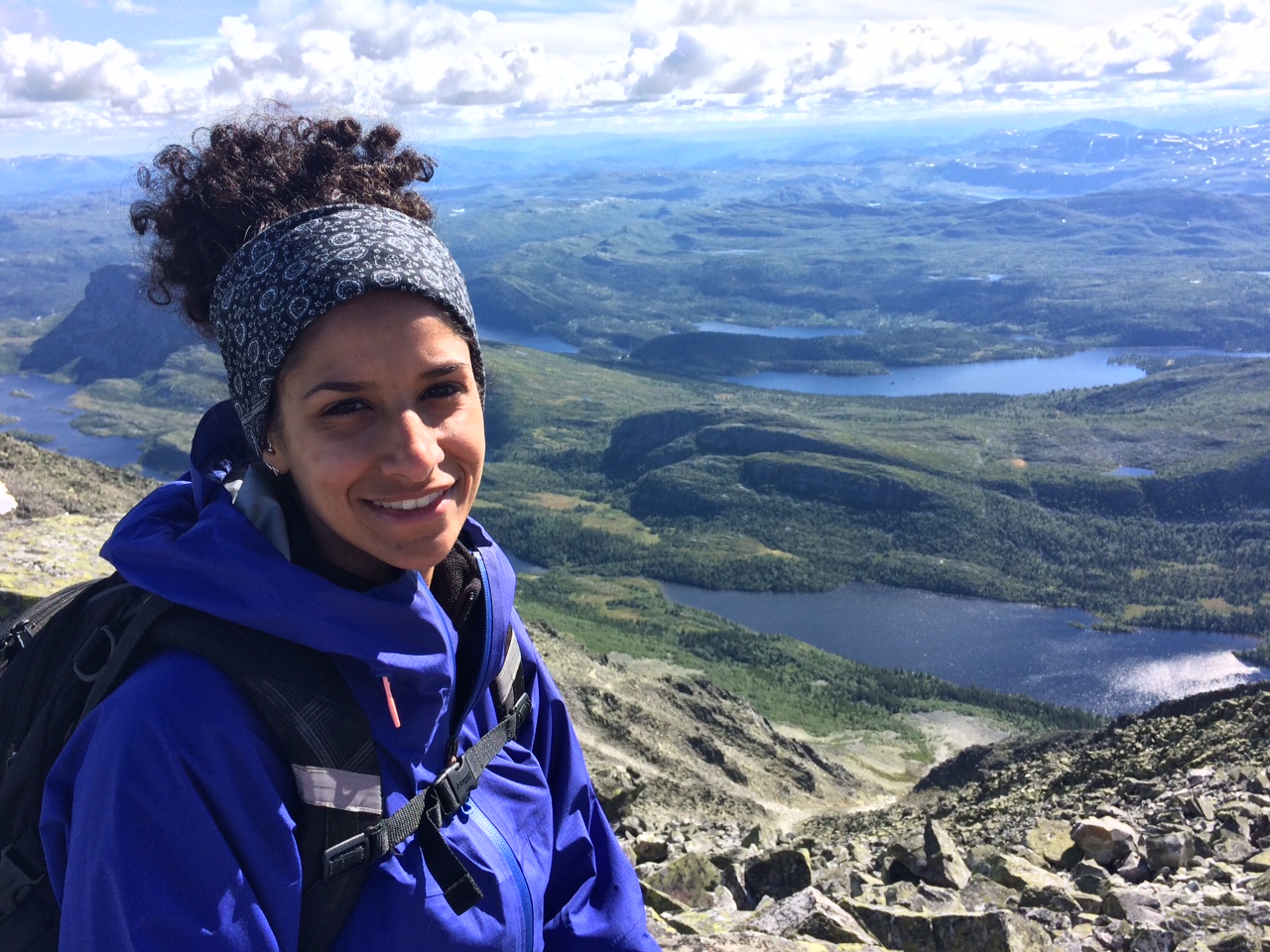
Drone field geology, bridging geo-scales. Tectonic study of Northern Scandinavia by CEED U. Oslo researchers Hans Jørgen Kjøll and Torgeir Andersen. Picture provided by Hans Jørgen Kjøll.
This is all made much easier by using satellite data as a first line of attack. Never before have we had such fine satellite data to simply strategising as we do now.
So maybe it’s also time to move on from old fashioned geological mapping – especially where pretty good maps already exist- and move on to more comprehensive, strategic field campaigns. And remember, technology can be our friend, we need not shy away from it. The photo here is not merely a gorgeous landscape, it is a drone picture by Hans Jørgen Kjøll and Torgeir Andersen of CEED, U. Oslo (seen as the people-looking lines in the middle of the photo). They are seen here flying a drone to get high resolution field data in rugged, inaccessible northern Scandinavia, while simultaneously bridging the scale of typical field work to large scale tectonics.
Similar advantages can be had by using LIDAR, various GPS methods, shallow logging techniques, etc. Perhaps it’s time to stop thinking of geologists as the hammer-hand lens people, and of geophysicists as the gadget people, and of geodynamicists as the code people. Perhaps it’s time to blur the lines, work together and learn from each other.
All of this might eventually give us more real data to plug into our models, perhaps refine some of the parameterisation, or at the very least, give us something against which to compare our model predictions.
After all, George Michael said it best: “Let’s go outside”!